How to utilize smart maps to promote your destination
Simple display of points on the map vs. a map with advanced functionality
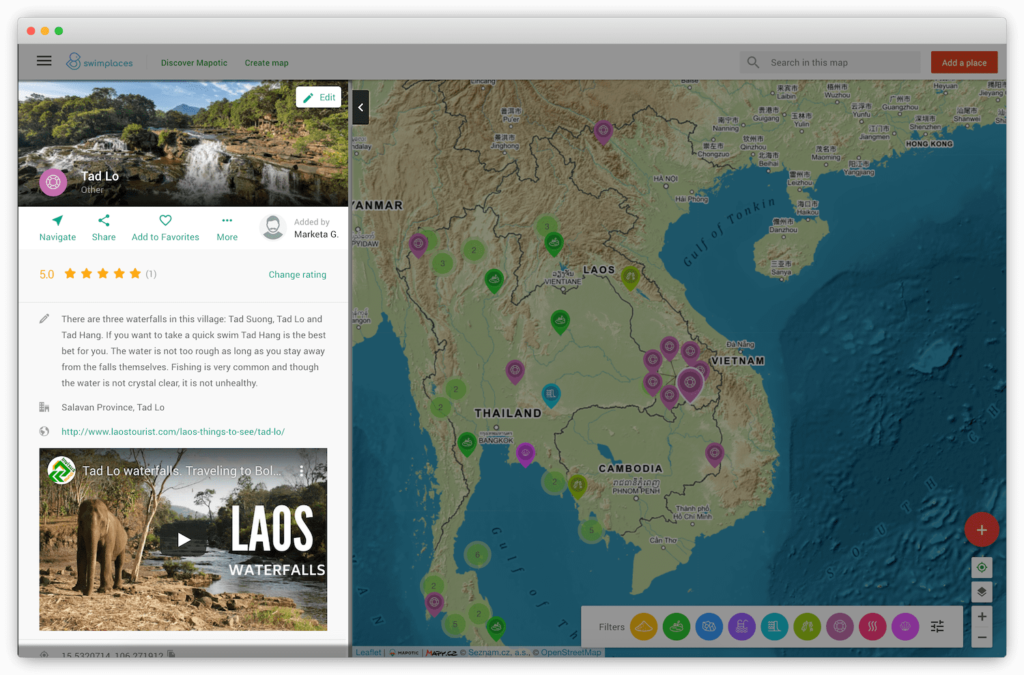
Displaying points of interest on the map is an integral part of the presentation of tourist places. A map will help you to direct your users or clients to the most interesting places, while simultaneously helping them plan their trip. If you need to display a couple of points on a map and add names, a description, and a picture, you can do so with common solutions like Google Maps.But what if you need to display many points in an organized fashion, add photos and videos to them, and categorize them? How do you allow people to filter only what they are interested in on the map, show routes, or insert structured content into the description of places, link to websites of sponsors, or add links to ticket reservations?
Let’s see how you can use Mapotic to display smart maps with more sophisticated requirements.
Simple administration with a rich functionality
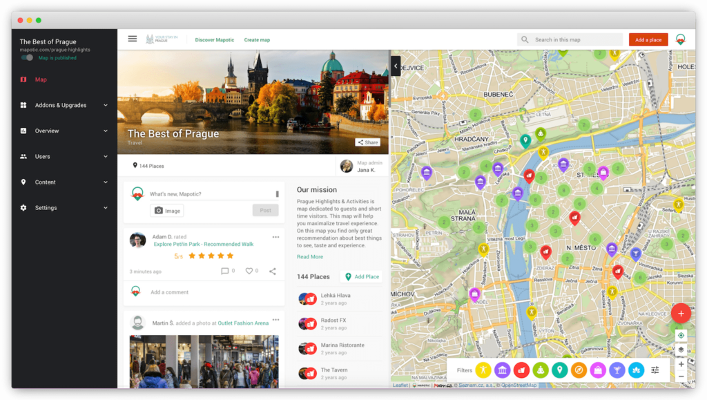
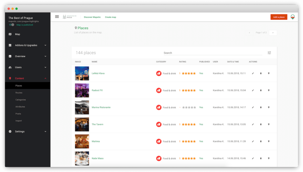
Mapotic is designed as a map content management system, in which information can easily be managed, inserted, but also integrated (embedded) into websites or applications without the need for programming. Each map project can be easily configured, and the map display and content can be adapted to your specific requirements.
For example, points in the “Nature” category do not usually require contact information. However, contact information will be useful in the category “Accommodation”. Similarly, you can assign other parameters to places such as “Paid Entry”, “Free Entry”, etc. Such filtering options will help your map visitors find points of interest that they’re interested in much faster.
Filters can be a powerful tool. In tourist maps, visitors will appreciate the suitability of a place for a family, parking options nearby, information about accommodation for animals, etc. If a place does not have the information filled in, Mapotic will automatically hide the entire line and will not display a title without content.
Use one map in several places
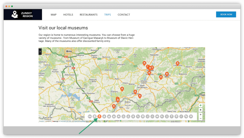
Once created, the smart map can be used more than once. Thanks to the option to set a specific zoom or a different centering in the embedded map, one map can be used as a general guide to all areas. In addition, you can restrict the very same map to only display tourist attractions placed in a certain area.
In addition to centering the map on a specific location, you can also insert a map that is already set to display places from a specified category, or even with an applied filter. For example, you can view only relevant places and routes in an article about routes suitable for e-bikes.
Another example could be the article “where to go with your family” or “show places suitable to visit even during rainy days”, etc. For all these purposes, you do not always have to create a new map, but only select content from your Mapotic map that you want to view.
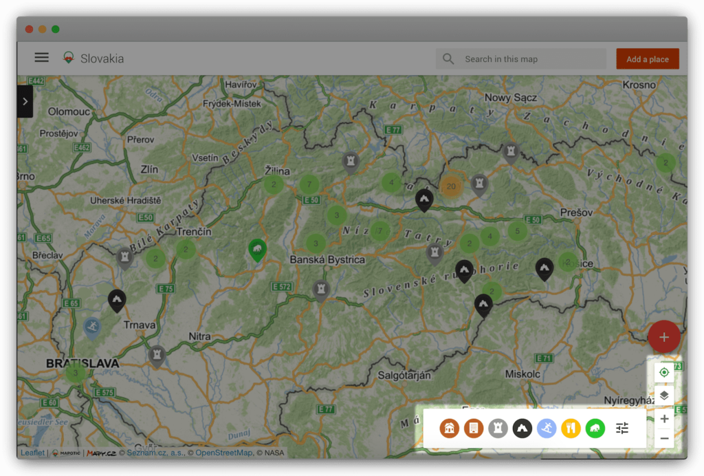
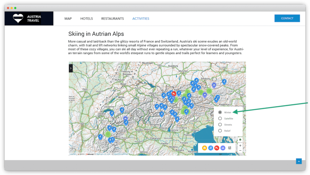
Tourist map layer
Attractive content
Creating quality content can mean a lot of work. If you already have and are ready to insert your own/licensed photos into smart maps with unique texts, the effort will soon pay off with the visibility of the map in search engines.
If you do not have the time, Mapotic has a wide database of tens of thousands of places in the Czech Republic and abroad. For example, we can easily connect barrier-free points to the smart maps from the largest database of points (Vozejkmap.cz), or organic farms from the project Adresar Farmaru, and many other data, including the import of data from various open data sets.
Other advantages of Mapotic
- The ability to create your own mobile application for a given area or non-shining
- User registration and working with user accounts
- Detailed traffic statistics
- Calculating the optimal route to a given place
- Integration with existing systems for displaying and transferring data to other applications
- Crowdsourcing – an option to allow your users to contribute new places or other content to your map
- Rating and adding comments to places on the map
- Gamification elements or creation of outdoor games based on the principle of geocaching
- Hidden attributes for storing internal information
- Connecting with partners or providing visibility to your sponsors
- Displaying routes for walking and cycling trips
Warning: Attempt to read property "post_excerpt" on null in /home/415403.cloudwaysapps.com/yphxfjcmvv/public_html/wp-content/plugins/elementor/includes/widgets/image-carousel.php on line 999
Try Mapotic in the free version or do not hesitate to contact us to process an offer tailored to your needs.
Inspiring examples of successful mapping projects
Kudy z Nudy – Weekend Travel Tips: A handy app for the popular Czech portal kudyznudy.cz
HotelVysočina – Hotel in the Czech Highlands showcases nearby places of interest
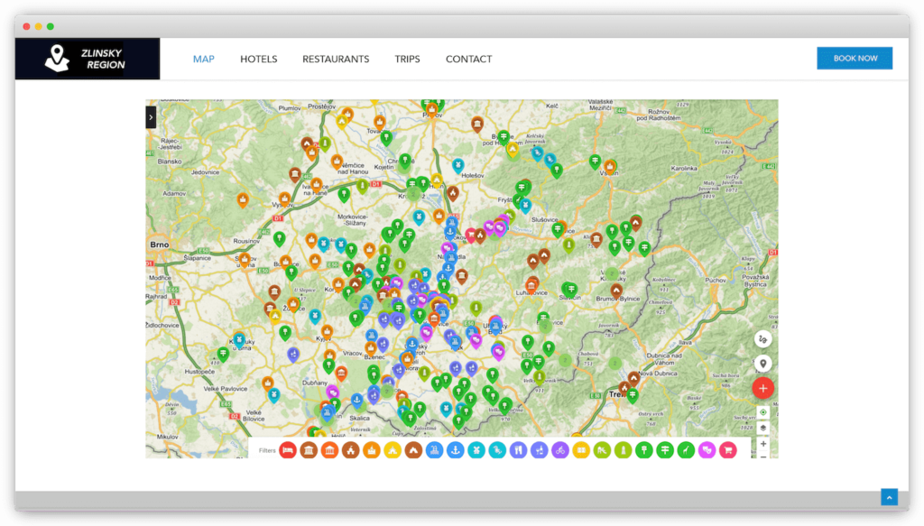
Zlínsko & Luhačovicko – Web of a Czech tourist region Zlínsko and Luhačovicko with an embedded interactive map
Table of Contents
You might be also interested
More user activity stats for map administrators 🪄
To give map administrators a better overview of the content users have contributed to their map, we recently updated the Followers section with more statistics
Enhanced collaboration roles
We have recently updated the Users & Permissions section in the Mapotic Map Builder. The UI when adding map administrators or users with access to
New feature: Labels
The newest addition to the list of Mapotic attributes is called Label. It can be used to add additional labels (tags) to a place, route
