New feature: Labels
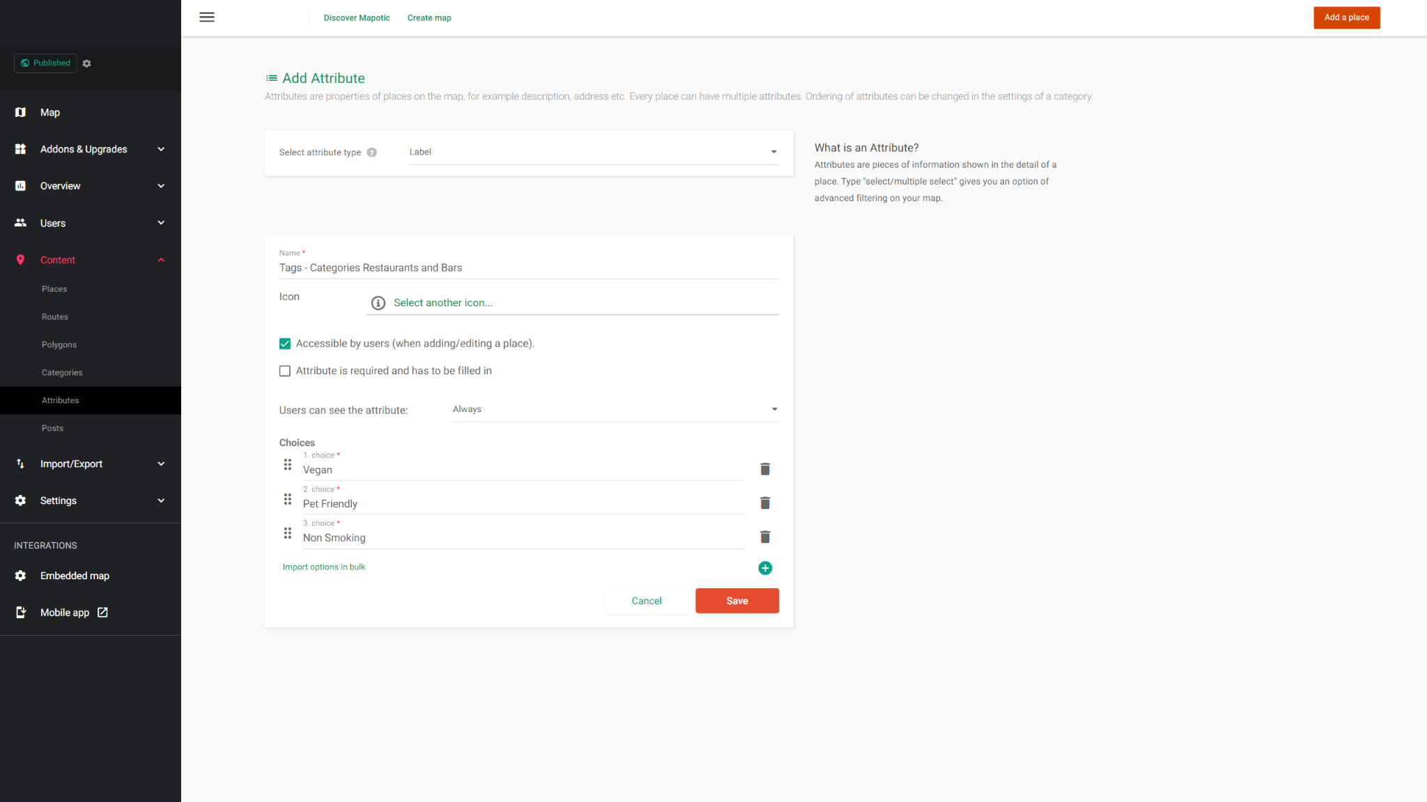
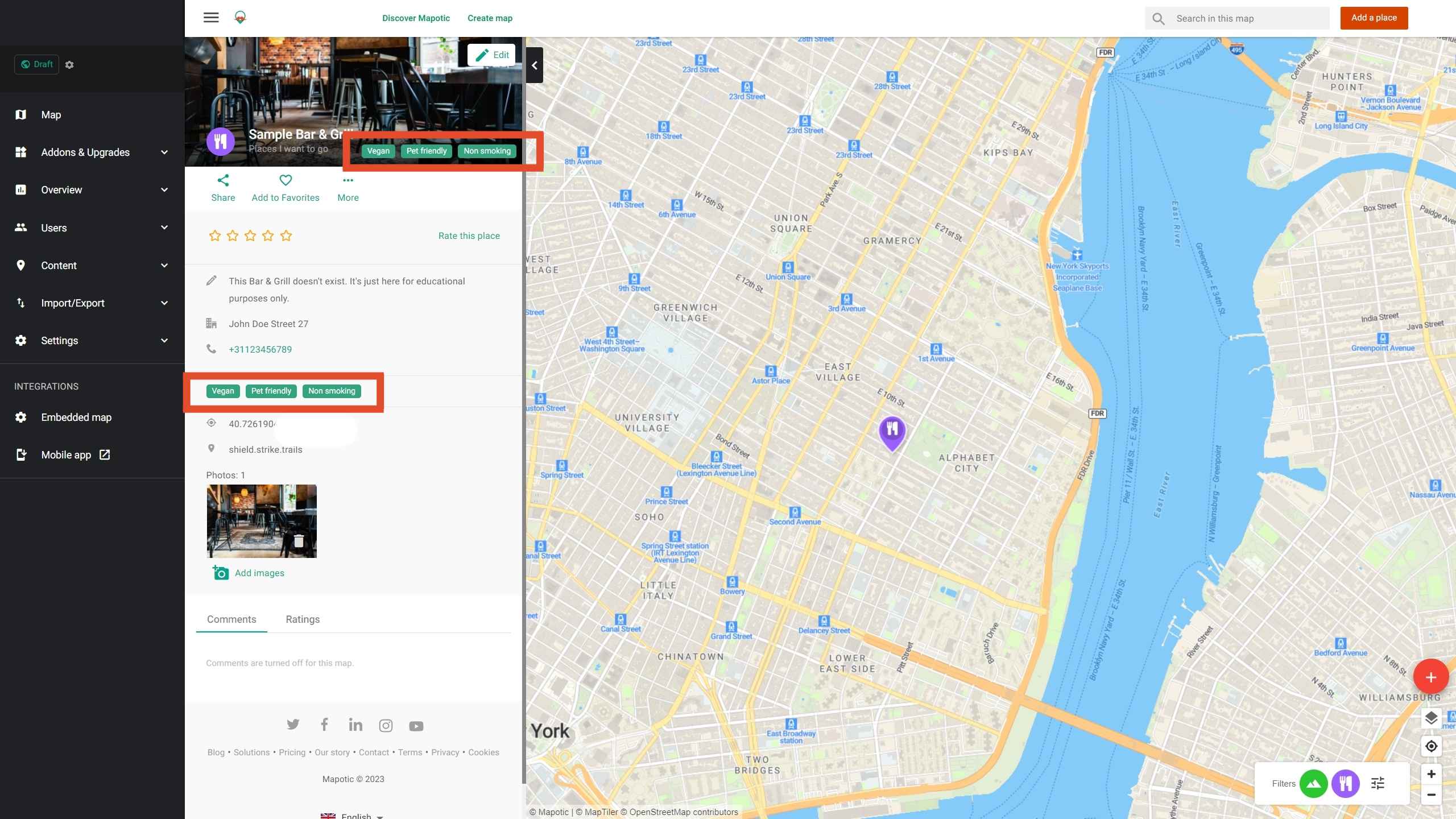
The newest addition to the list of Mapotic attributes is called Label. It can be used to add additional labels (tags) to a place, route or polygon. You can assign multiple labels to one object (place, route or attribute). The labels attribute has improved visibility on your map, and can therefore be used to display information that directly appeals to your map’s visitor.
For example., you could have a map displaying restaurants and bars in New York and use the label attribute to create tags such as: ‘vegan’, ‘non smoking’, ‘pet friendly’ etc..


In case you are new to Mapotic and would like to learn more about these features, please feel free to take a look at our categories and attributes article.
Table of Contents
You might be also interested
More user activity stats for map administrators 🪄
To give map administrators a better overview of the content users have contributed to their map, we recently updated the Followers section with more statistics
Enhanced collaboration roles
We have recently updated the Users & Permissions section in the Mapotic Map Builder. The UI when adding map administrators or users with access to
Basic Settings
Basic settings let you customize basic information and define the basic behavior of your Mapotic map.